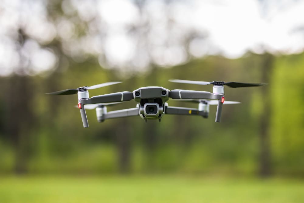
1. Infrastructure Monitoring and Maintenance: UAVs can be deployed to monitor critical infrastructure such as bridges, roads, and energy grids. The high-resolution imagery captured can be analyzed to detect wear and tear, structural issues, or potential hazards. This proactive approach ensures timely maintenance, reducing the risk of infrastructure failures.
2. Environmental Conservation: Federal agencies responsible for environmental conservation can utilize UAVs to monitor deforestation, track wildlife, and assess the health of ecosystems. The real-time data collected aids in the rapid response to environmental threats and helps in the formulation of conservation strategies.
3. Disaster Response and Management: In the aftermath of natural disasters, UAVs can be deployed to assess the extent of damage, locate stranded individuals, and determine the most affected areas. The data-driven insights provided by geospatial analytics enable agencies to prioritize resources and coordinate rescue and relief efforts effectively.
4. Urban Planning and Development: UAVs play a pivotal role in urban planning by providing detailed aerial views of cities. Planners and developers can analyze this data to design urban spaces, optimize traffic flow, and plan public amenities.
Challenges and the Way Forward:
While the integration of UAV technology and geospatial analytics offers numerous benefits, it’s not without challenges. Airspace regulations, data privacy concerns, and the need for specialized training are some hurdles faced by federal agencies. However, with continuous advancements in technology and regulatory frameworks adapting to the evolving landscape, the future looks promising.
SpatialGIS, with its commitment to innovation and excellence, is poised to address these challenges. By offering tailored solutions that align with the specific needs of federal agencies, SpatialGIS is not just a service provider but a strategic partner in the journey towards a data-driven future.
Conclusion:
The confluence of UAV technology and geospatial analytics is reshaping the way federal agencies operate. From enhancing operational efficiency to ensuring informed decision-making, the possibilities are vast. As we navigate this transformative era, it’s partnerships with industry leaders like SpatialGIS that will chart the course towards a brighter, data-empowered future.


