The Future of GIS: Trends to Watch in 2023 and Beyond
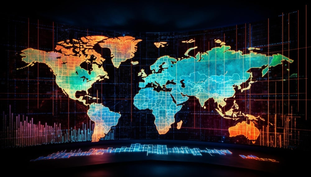
Introduction: The world of Geographic Information Systems (GIS) has seen a rapid evolution over the past few decades. From simple mapping tools to complex spatial analysis platforms, GIS has transformed the way we understand and interact with our environment. As we step into 2023, several trends are set to redefine the GIS landscape. Let’s delve […]
Applications of UAV-Driven Geospatial Analytics in Federal Agencies
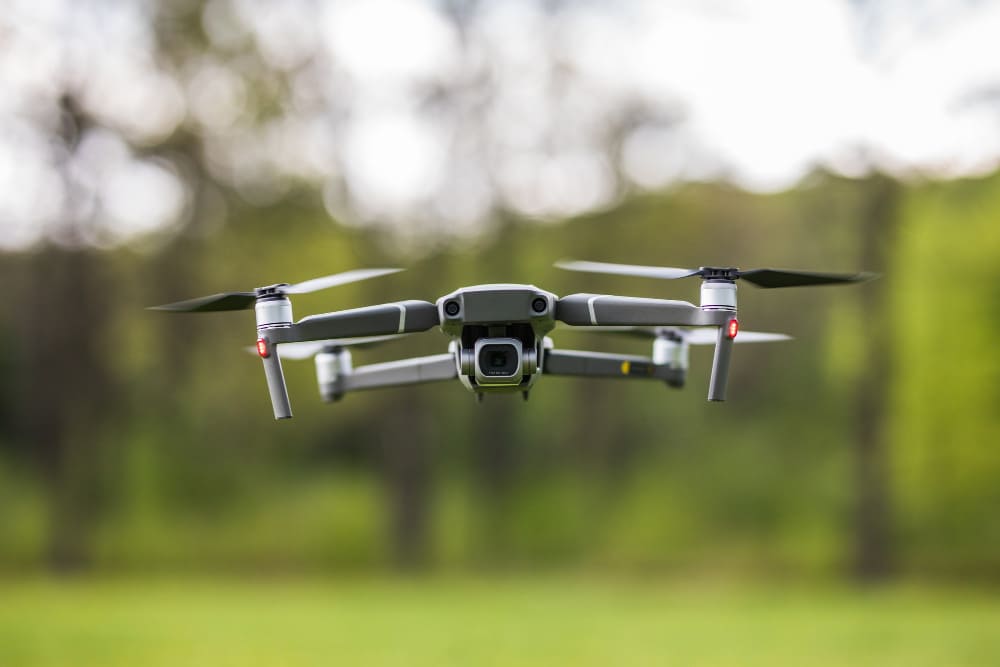
1. Infrastructure Monitoring and Maintenance: UAVs can be deployed to monitor critical infrastructure such as bridges, roads, and energy grids. The high-resolution imagery captured can be analyzed to detect wear and tear, structural issues, or potential hazards. This proactive approach ensures timely maintenance, reducing the risk of infrastructure failures. 2. Environmental Conservation: Federal agencies responsible […]